
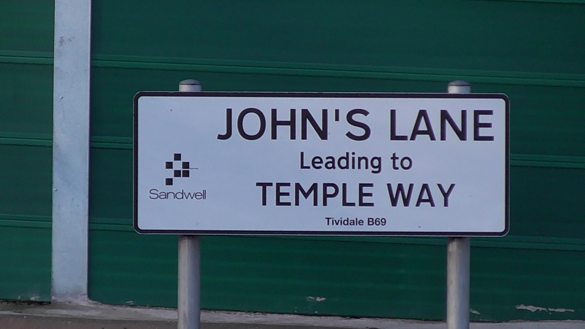
A new sign, but same old shit
The landscape of John’s Lane leading to Temple Way has changed over the last couple of years. Firstly the boundary with John’s Lane appears to have visually changed.
Take a look at these bing streetview images from 2013.
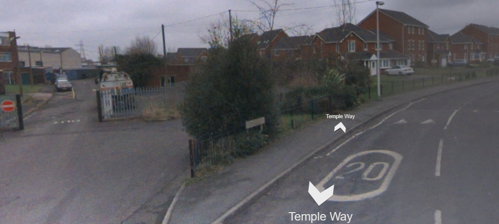
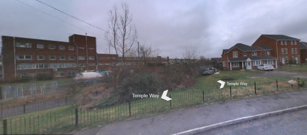
I’m not accusing anyone of a lockdown landgrab into a driveway on the corner house, but I do note that the green area, bushes and railings have all now gone and having downloaded the title plan for this property,WM925796 it shows a different boundary to that which it now encompasses. This was part of the former sewage works development area approved on appeal in 2005 and part of the Barratt Homes new estate.
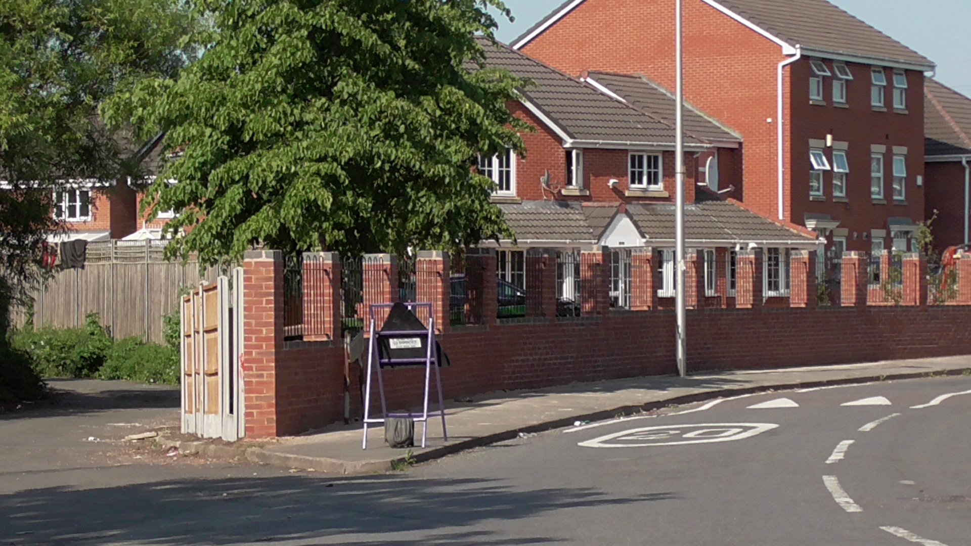
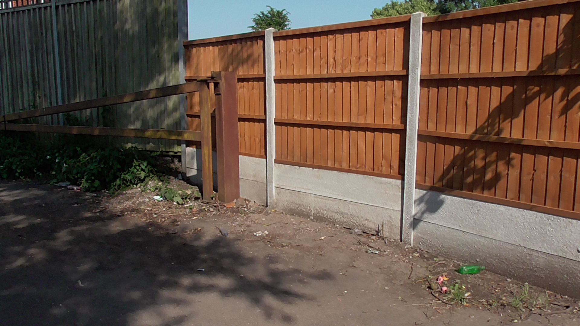
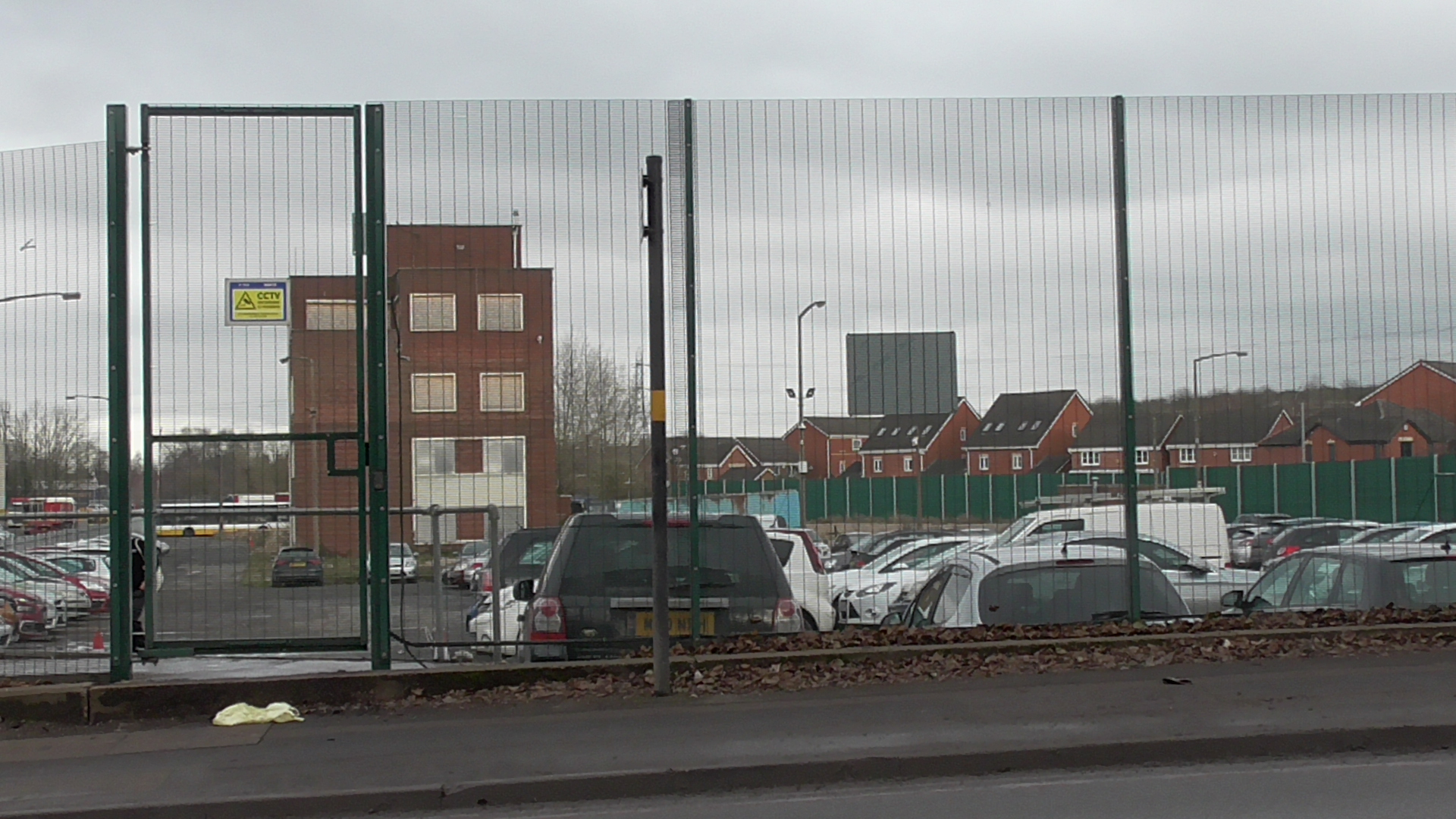
More depressing bricks and fencing
The other observation is unfortunately, the area is now swamped with badly parked cars on a daily basis at this junction. A carpark for Barnshaw Section Benders remains overgrown and underused, and I have no idea what folly is going on here with these benders, unless there is some desire to create more fucking housing on this small plot in the future?
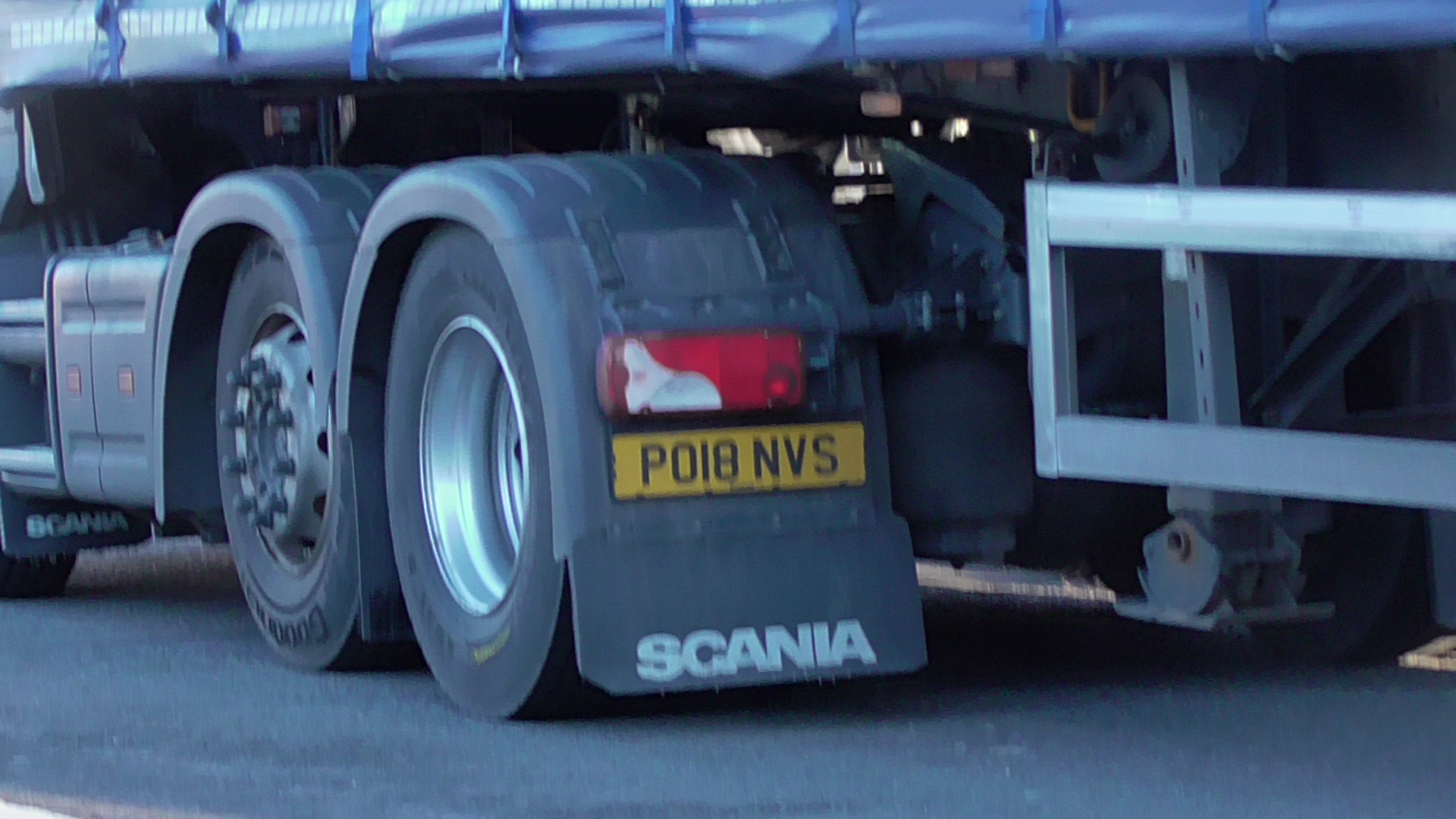
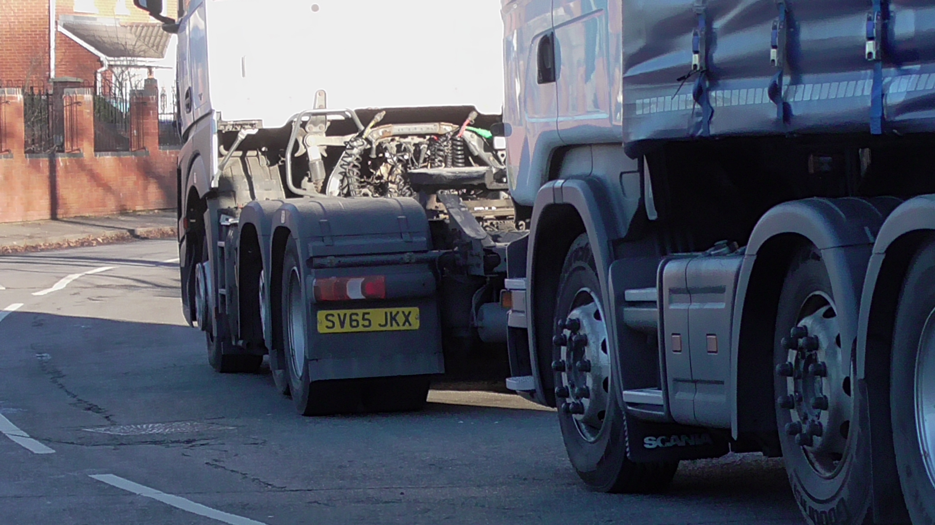
You also get (usually EU foreign) HGV’s parking overnight blocking entry onto the John’s Lane section. A few weeks ago, some ass clowns decided to block the entire highway parking on the wrong side of the road for several days. The pictures show this clearly, and the vehicles are shamed below. I’ve no idea if these were dumped, but the first one did not even have a back licence plate so was driving illegally and stationed illegally as well.
The businesses around here are contributing to traffic chaos, because they do not appear to have a coherent parking plan, and it’s time that Sandwell council sorted this shit out, along with prosecuting the chicken shop trash who eat their cancer meals from their cars and then chuck out the rubbish afterwards, oh and the flytipping as well. But this council appear to want to add even more houses on top of what is a car park nightmare already! They simply do not appear to understand the interface between business and residential use, and they cannot go together as this area is a prime example.
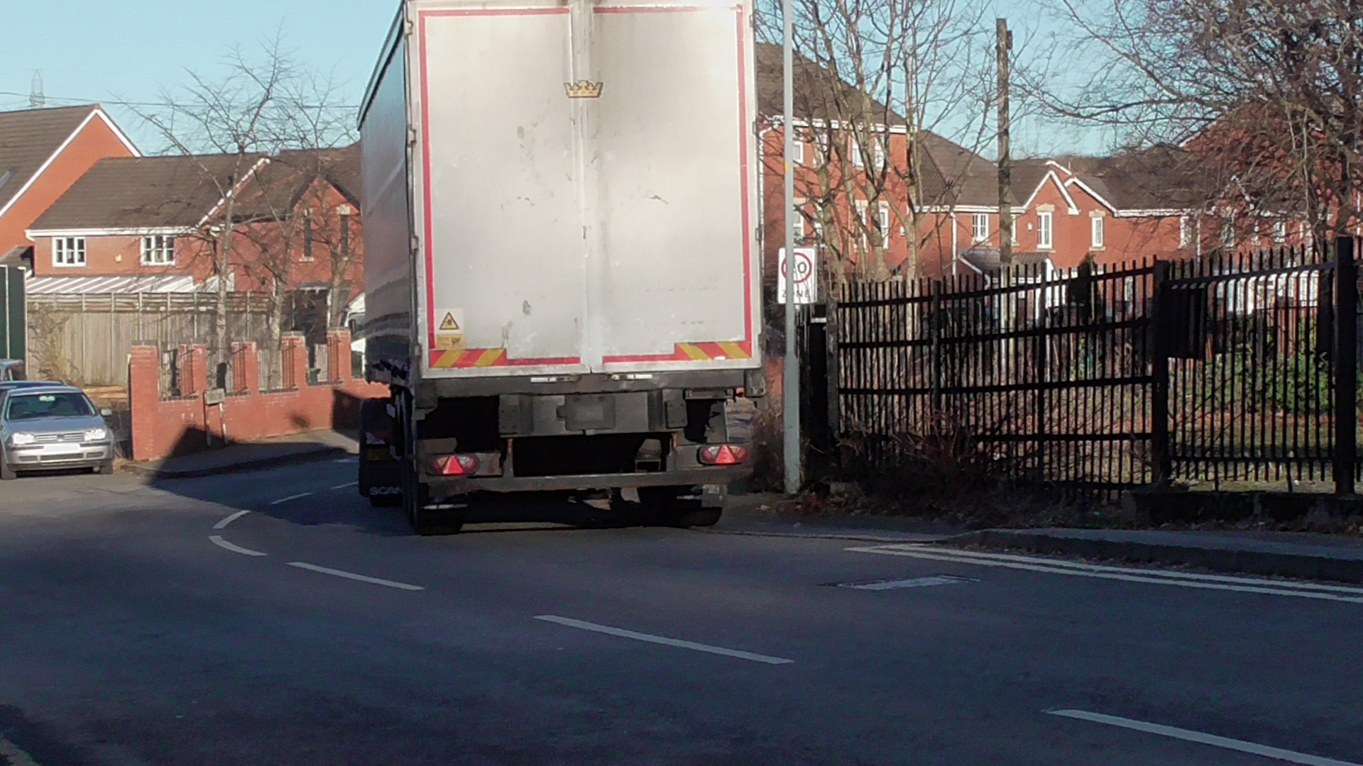
What fucking entitled idiot would park like this on a bend on the wrong side of the road?
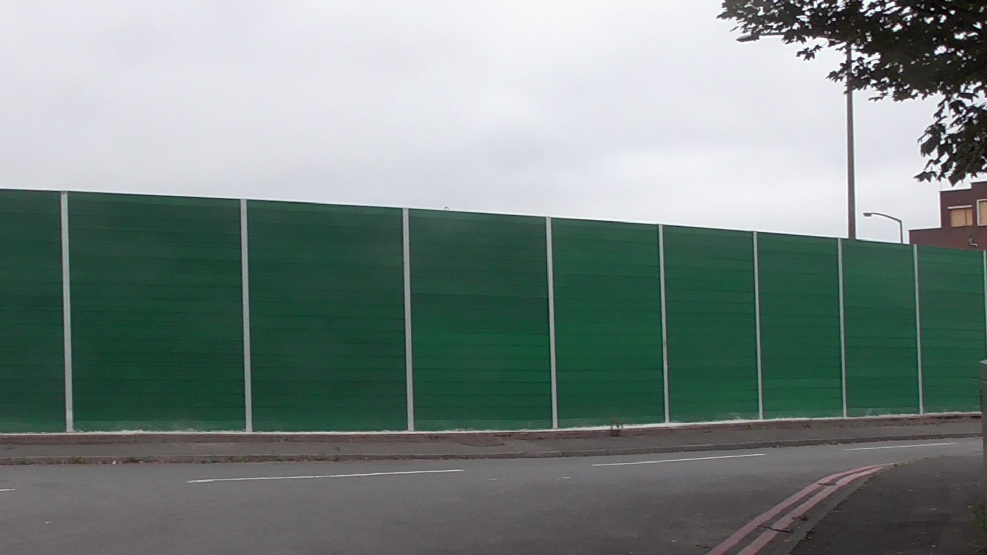
The Diamond bus company and the remnants of the SGS House decided to put up giant green screens- without any planning permission to make the entrance even more depressing, and this too now appears to be a full carpark, with the half demolished building taking up a waste of space to the rear alongside two clapped out buses.
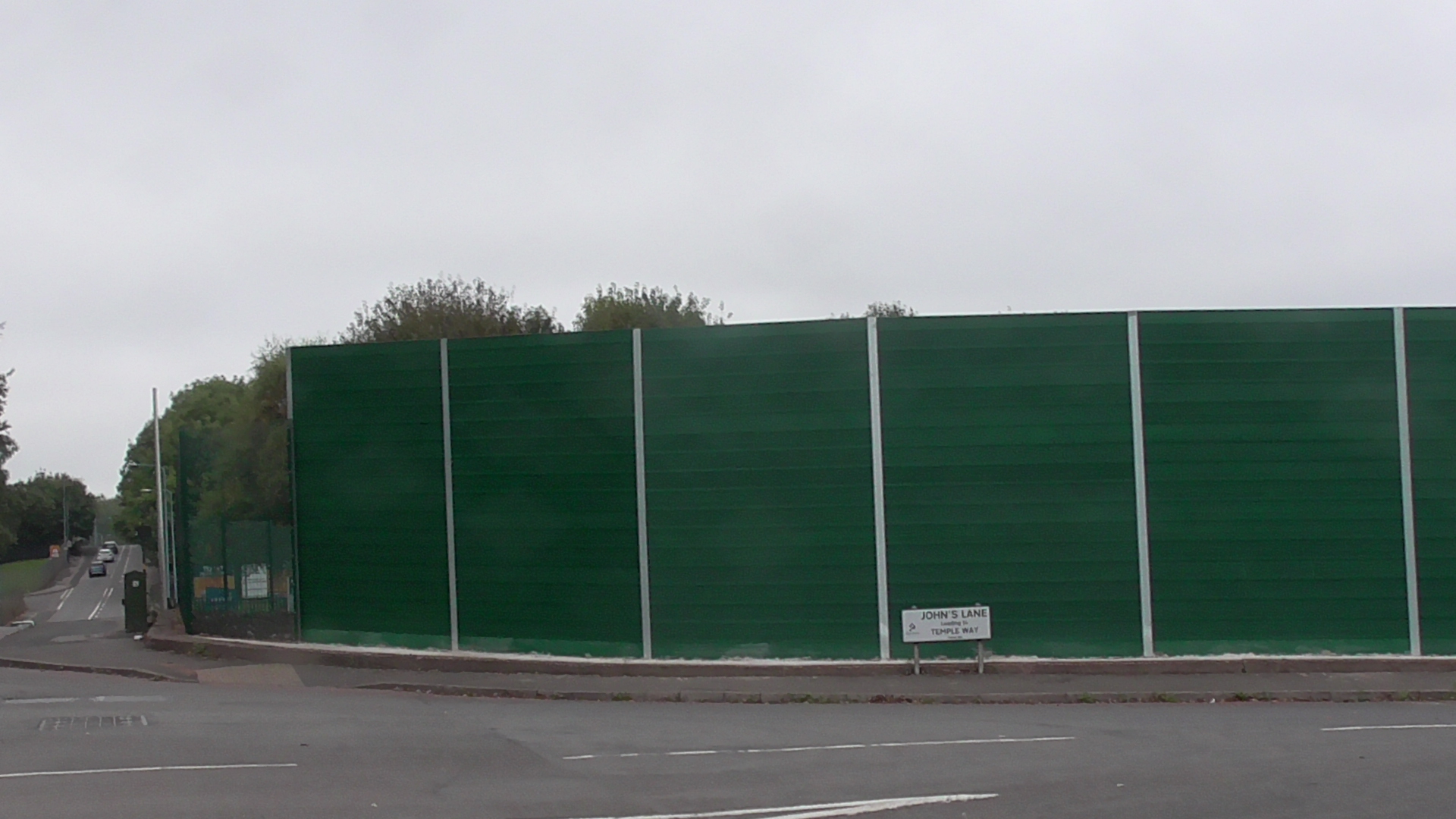
Well over three metres in height
Into this mix, the failed black country plan where extra housing was favoured in the lower Tividale area has now gone tits up as I have looked at before.
The main elephant in the room in this wider area however is the ever expanding Balaji Temple- (of which “Temple Way” was not named after; the street came years before the 1992 approved religious façade). It is frankly embarrassing to see the throngs of stationary cars stuck along Dudley Road East like a conveyor belt processing factory on Sundays all heading for the white building. Emergency vehicles cannot get through and there is no way around it because of this building’s punters who are cascading there by vehicles.
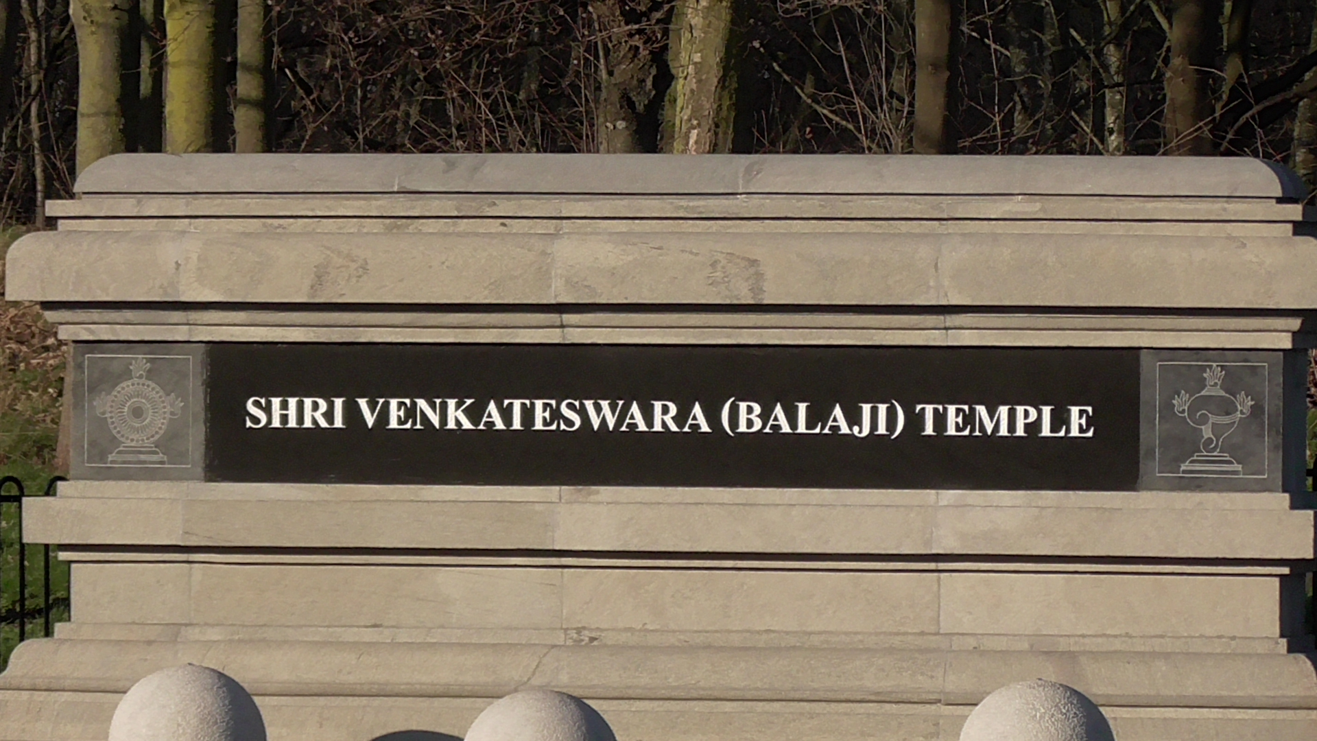
Well, at least the mention of Derek Rowley has now gone. LOL
Even a right of way was swallowed up in this separatist gated off community, and the council attempted to legally challenge this only to scandalously lose the case via a Bristol based inspector. The Temple’s expansion however is typical of religious minority one up man ship for ever bigger buildings over their rival religious competitors and which plays out against a lesser publicised background of religious sectarianism and the nationalist politics of foreign countries. The political class however remain keen to court this block vote and so there is little point in ever opposing such self serving and singular expansion plans. Oh well, fancy a charity curry night anyone? 😥

Meanwhile with more housing being built in Oldbury Town Centre, some jokers think that even more houses on the Temple Way estate is a viable scheme. It certainly is not and the Dudley Road cannot take any more traffic. If every one of these houses has the standard 2+ cars that are typical of the area, how exactly does this bulging network accommodate this? Sandwell are just one of many authorities that are also part of the so called “15 minute cities” agenda of coercion and limiting of free movement. One wonders if the overload in areas like this is a deliberate part of that wider aim?

Stated house plot numbers. The only way out for the vehicles from the potential estate extensions is via Dudley Road East.

SAH088 proposes that 322 homes could be built on land including the former Duport’s Tip

SAH098 proposes a further 32 homes could be built on a strip of land lying along the river corridor off MacDonald Close.
And then there are SMBC’s so called 2030 ambitions and air quality monitoring data. Once again they pander to their “faith group” coercive controllers for “behaviour change” in attempting to reduce traffic journeys- what a joke.
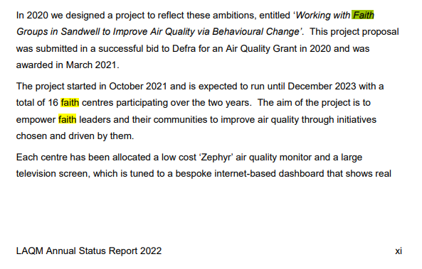
Total waste of money
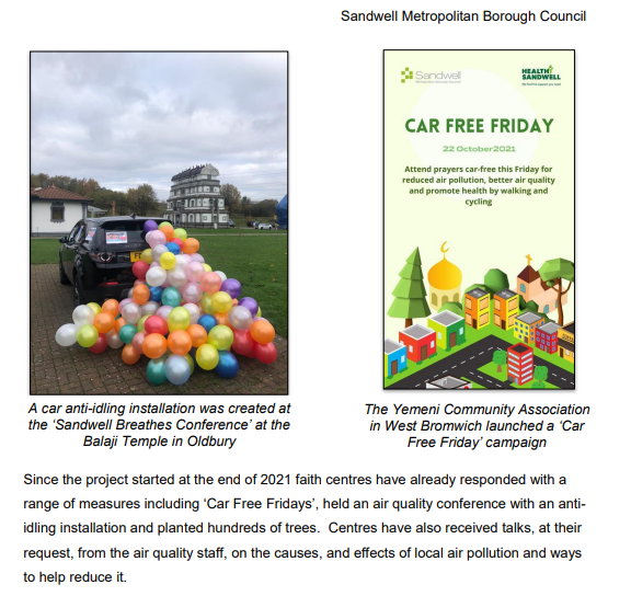
“car free Fridays”- yeah just go there on another day instead. FFS!
One of Andy “keep the faith” Street’s fantasy metro routes is called “The Macarthur line”, which would impossibly run through the Temple Way area at some point- and perhaps even along the Dudley Road itself. 😛 They really are fucking brainless aren’t they. Well- Dudley laying 300 yards in two years and run out of money to get to Brierley Hill- Perhaps schedule in a 2075 vision of how it might look. 😆 😆 😆

“If you build it, they will come.”